
 All work
GIS / Georeferenced imaging
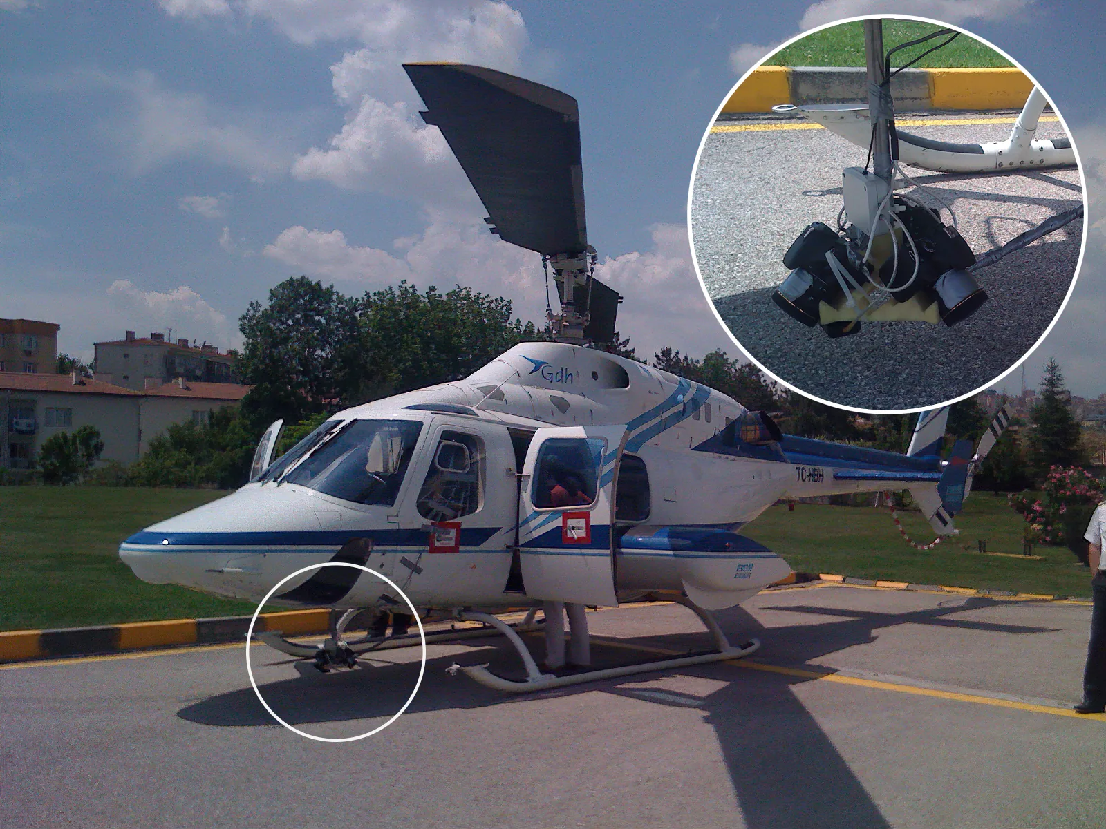
Pano-X records imagery together with position and orientation. GPS/GNSS, the IMU and the robot’s rotation data support image linking and spatial navigation. Moving from an aerial view down to street level is the visible result of that production chain.
Explore Mersin from above